


Notes From an Environmentalist. Plum Island Mystery.

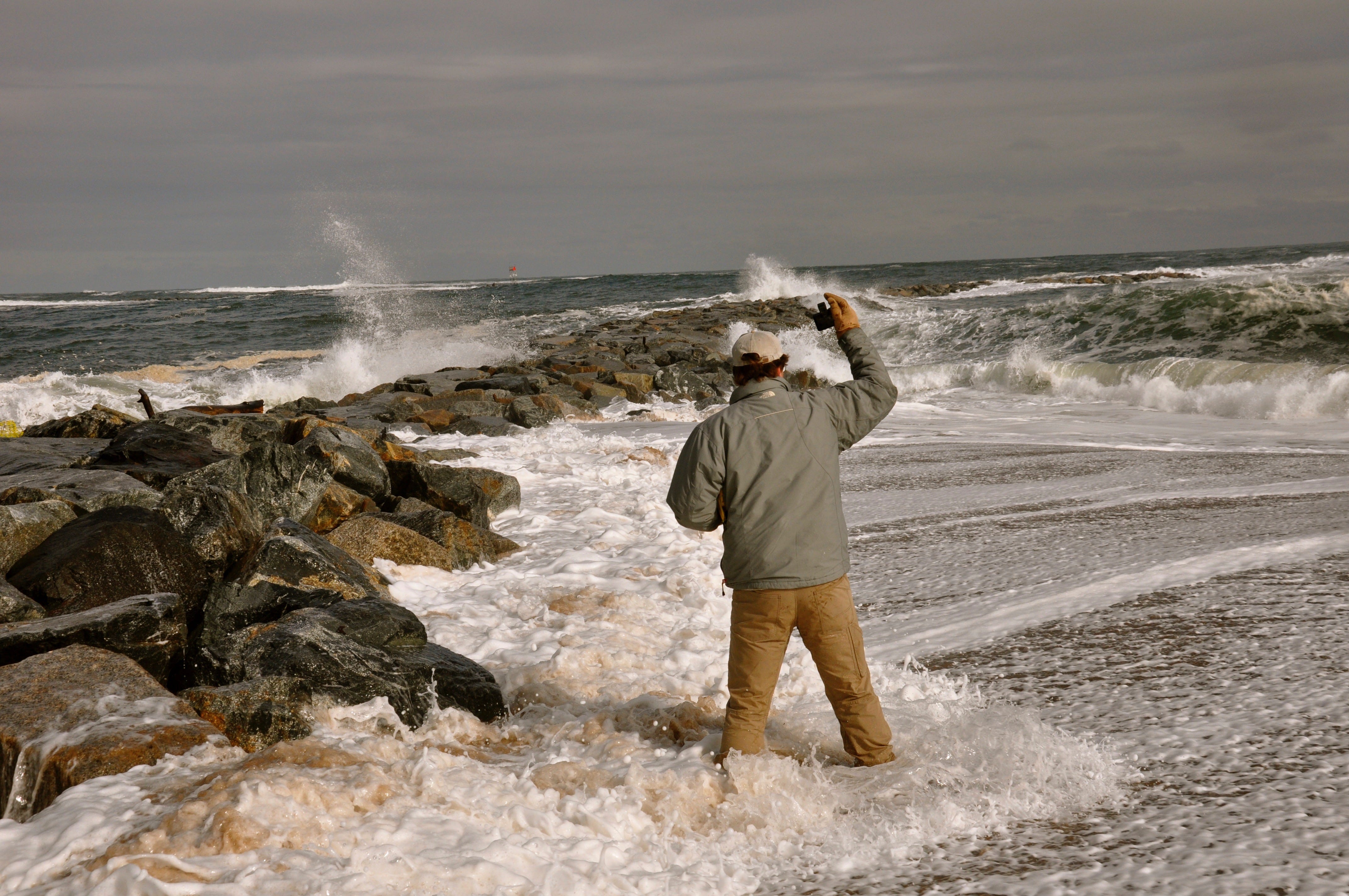
Sand laden water flowing through South Jetty

Sluiceway where water flowed through jetty.
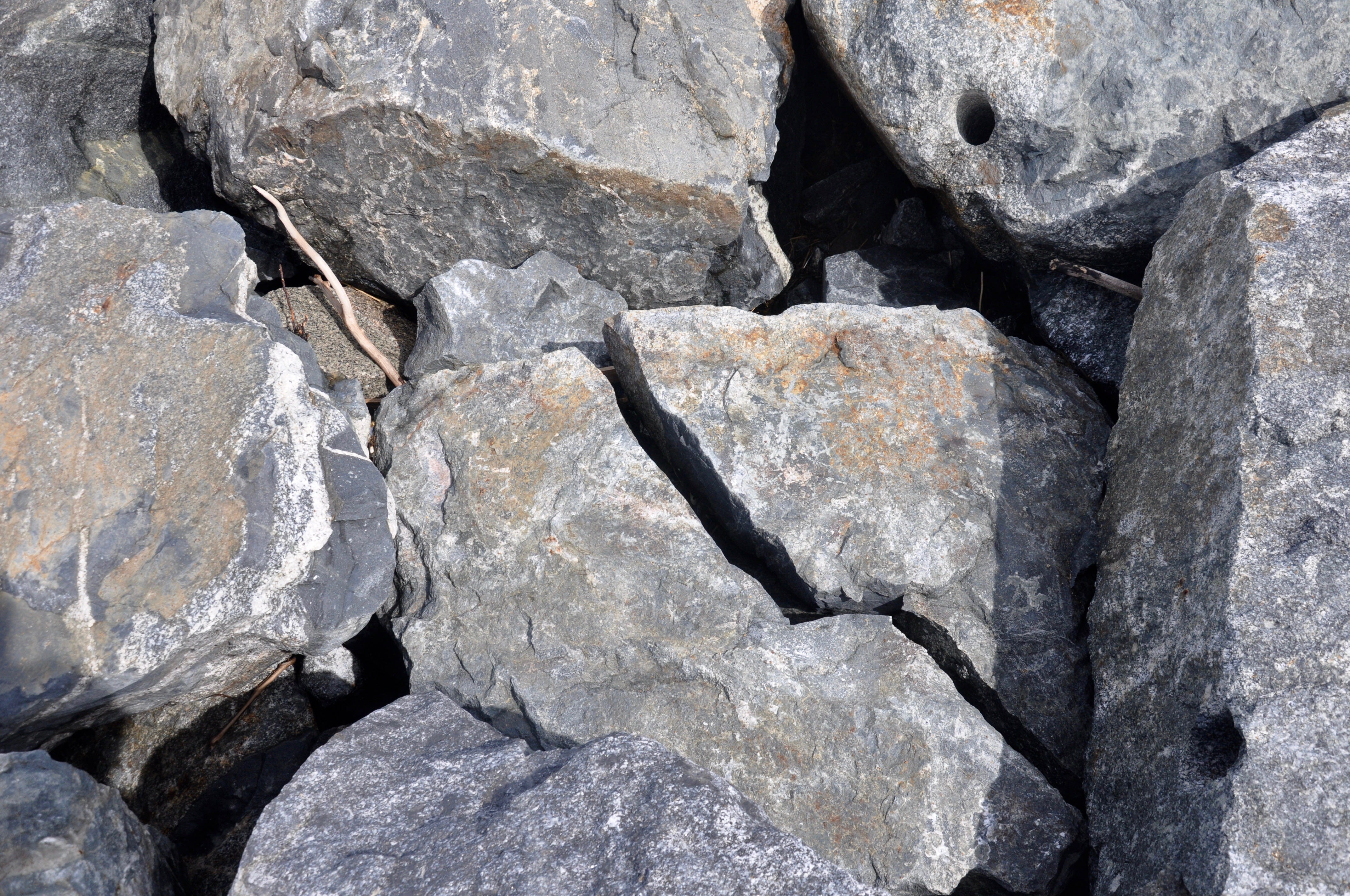
Boulder broken as jetty settled.
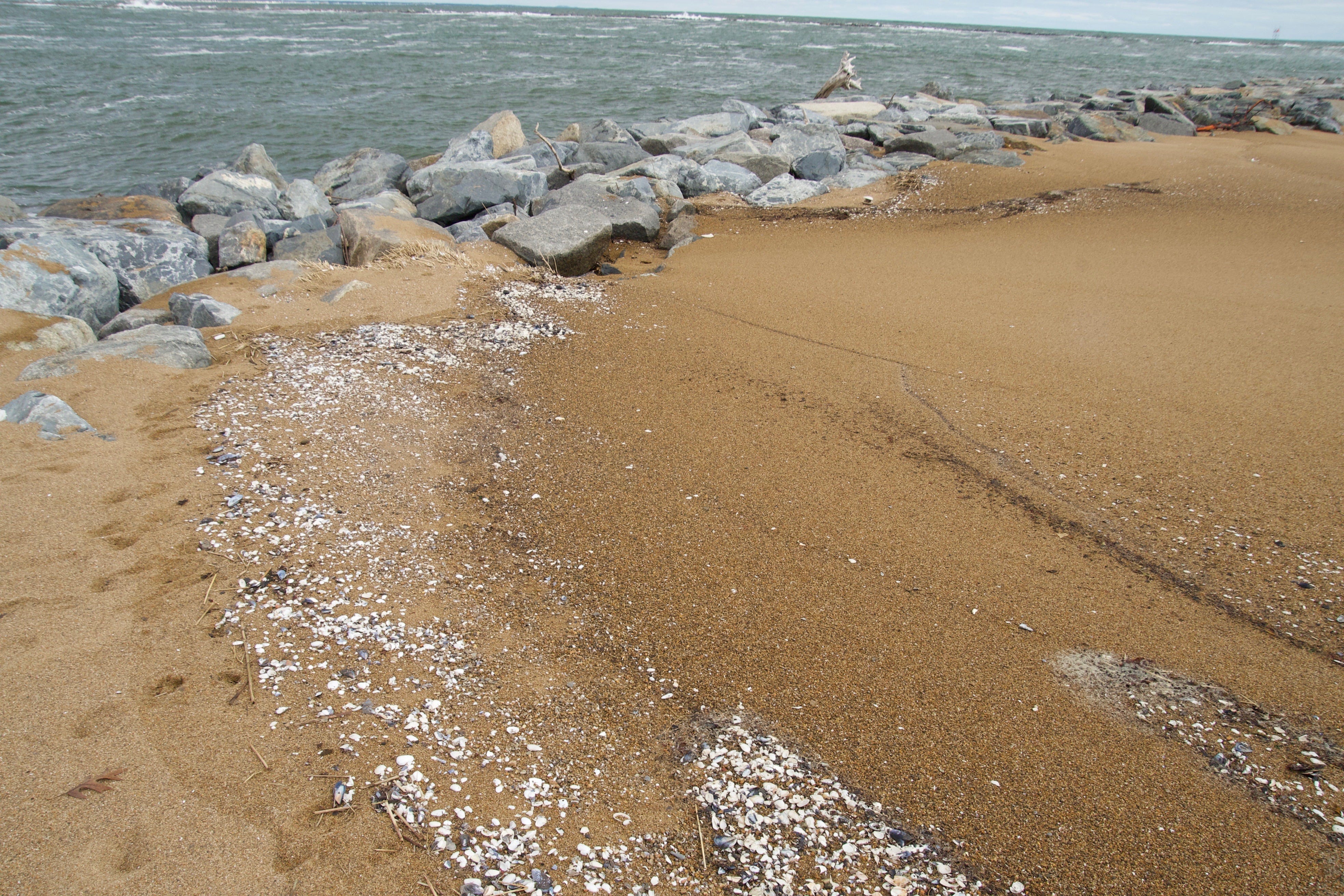
Dark sand and shells where water flowed through jetty. About a hundred feet of sand on the oceanside has flowed through the jetty.
A Puzzle Re-Solved
The Merrimack River South Jetty
The April meeting of the MRBA was a long contentious affair. It opened when Barton Raymond from the Army Corps of Engineers projected an illustration from one of his old textbooks showing that if you spread sand on an open beach it would grow at both ends.
But the illustration didn’t show what would happen if you put 216,000 cubic yards of dredged sand at the mouth of a swiftly flowing river like the Merrimack.
However, it still would have been nice to have seen the illustration before the Engineers nourished North Beach so we could have know what to expect.
He went on to show their model of a gyre that lurks beside the jetty.
I know what a gyre looks like in the middle of an ocean and I’m familiar with the leaky gyre of Georges Bank but the model shows this gyre being caused by the ebb and flow of the tides at the mouth of the river. No mention was made of the powerful river currents or the powerful waves and longshore currents that carry sand along this shore.
But if the Corps needs a gyre to justify cutting a weir into south jetty who am I to judge?
But the talk still left a mystery. Why was there so much sand unaccounted for on Plum Island’s North Beach?
They had used 216,000 cubic yards of sand to build a beach about 700 feet long and 400 feet wide. The last six winter storms had swept 200 feet off the front of the beach and added it to the north end of the beach.
That sand had grown north almost 500 feet burying the remains of the foundations of the old Coast Guard station broadcast facility under 6 feet of sand. The Corp’s model had predicted such equilibration but it couldn’t account for 50,000 to 100,000 cubic yards of new sand.
Local municipalities don’t have access to supercomputers, Lidar, and can’t make fancy models and I also agree with the noted statistician George Box who said all models are inaccurate but some are useful.
But I was able to get out to the jetty every week with Geoffrey Day to make hand measurements under contract with the City of Newburyport.
We stood up to our keisters in cold rushing water during February storms, in order to film waves breaking half a mile south and carrying a slurry of sand up the beach and through jetty that has settled close to 3 feet since it was repaired in 2014.
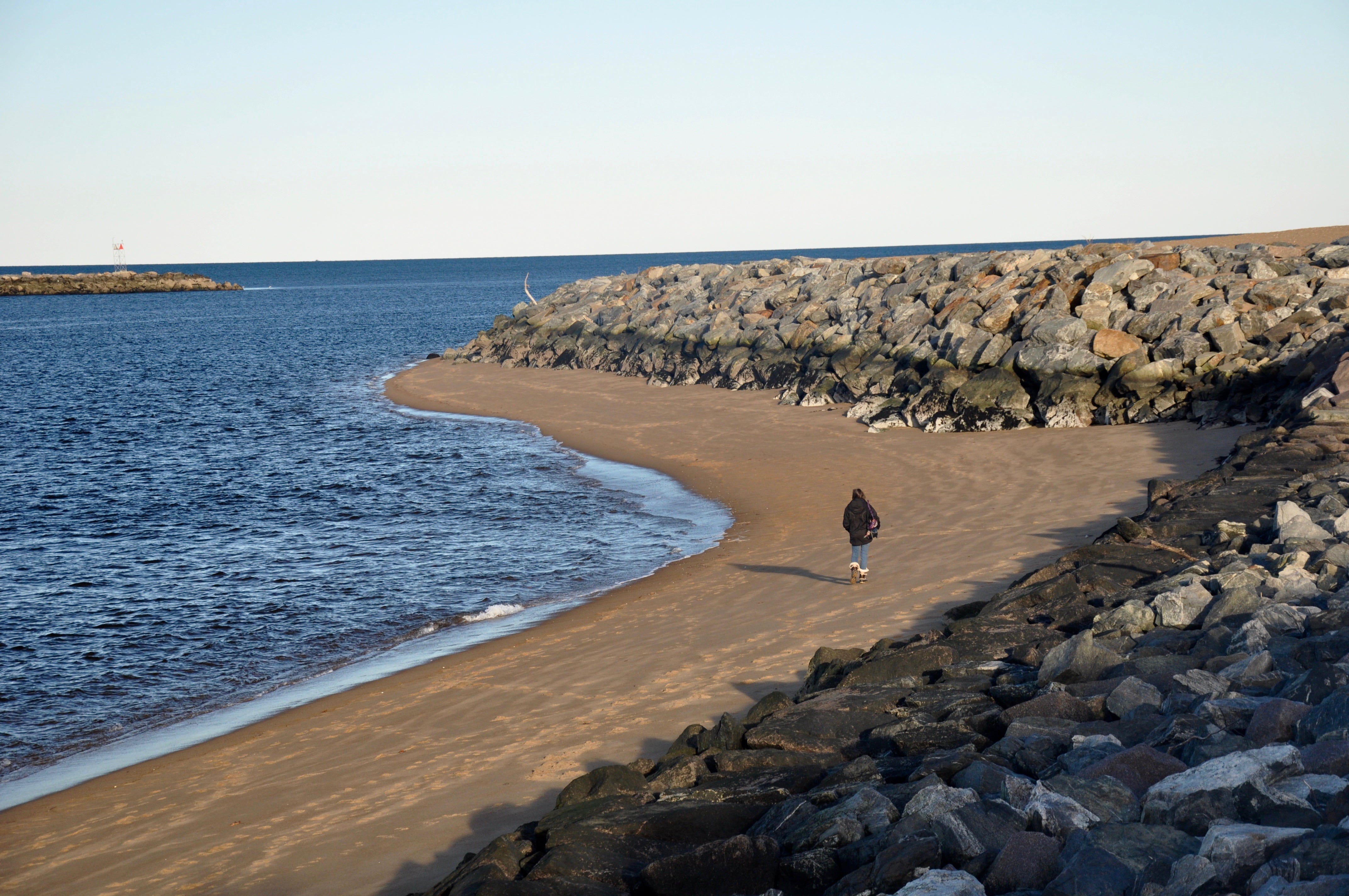
We returned at low tide to measure the sand that had flowed through the jetty and built a beach, 700 feet long, 77 feet wide and four feet deep.
Ethan Cohen from UAV used a drone to take monthly photographs of that fillet of sand as it snaked its way down the jetty and along the front of North Beach. It took three months for the fillet of sand to move down the jetty and another three months to flow to the north end of North Beach.
The Corps of Engineers agreed with our findings when about 36,000 cubic yards of sand were flowing through the jetty in 2016. Now that amount has apparently increased to 50,000 to 100,000 cubic yards a season.
I hope that that hard won data will be corroborated by the Corps and become part of its institutional memory of its Plum Island weir project.
Beach formed by sand coming through the jetty during a single storm.